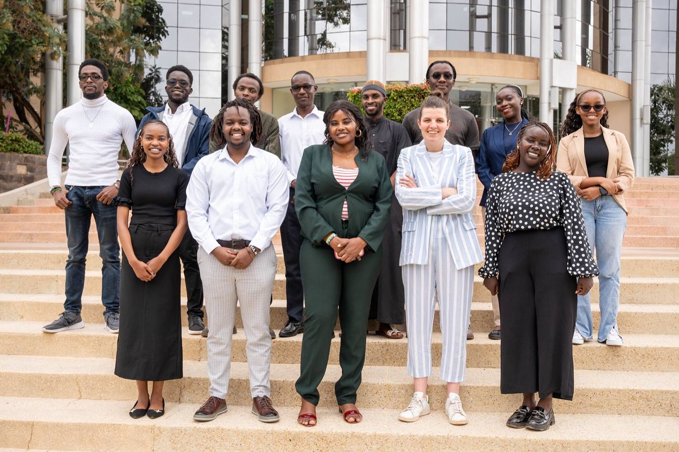
 Nairobi, Kenya
The people behind the pixels
Built by a Kenyan team that knows the land and the maths.
Kenya trains some of the best geospatial engineers on the continent. We give them real projects, senior guidance and a career, not a gig.
AI · drones · GIS · data · climate
Satellites, drones and AI, checked by our own people on the ground. From a single tree to a whole country.
How it works
Every flag goes to a person. Every model is checked on the ground. That is what makes a map into evidence.
Nairobi, KenyaThe people behind the pixels
Kenya trains some of the best geospatial engineers on the continent. We give them real projects, senior guidance and a career, not a gig.
A farm, a forest, a river basin, a reserve or a county. Two sentences is enough.