
Governments & Municipalitie
Governments & Municipalities: for
spatial planning, infrastructure and risk
mapping.

Disaster Response Agencie
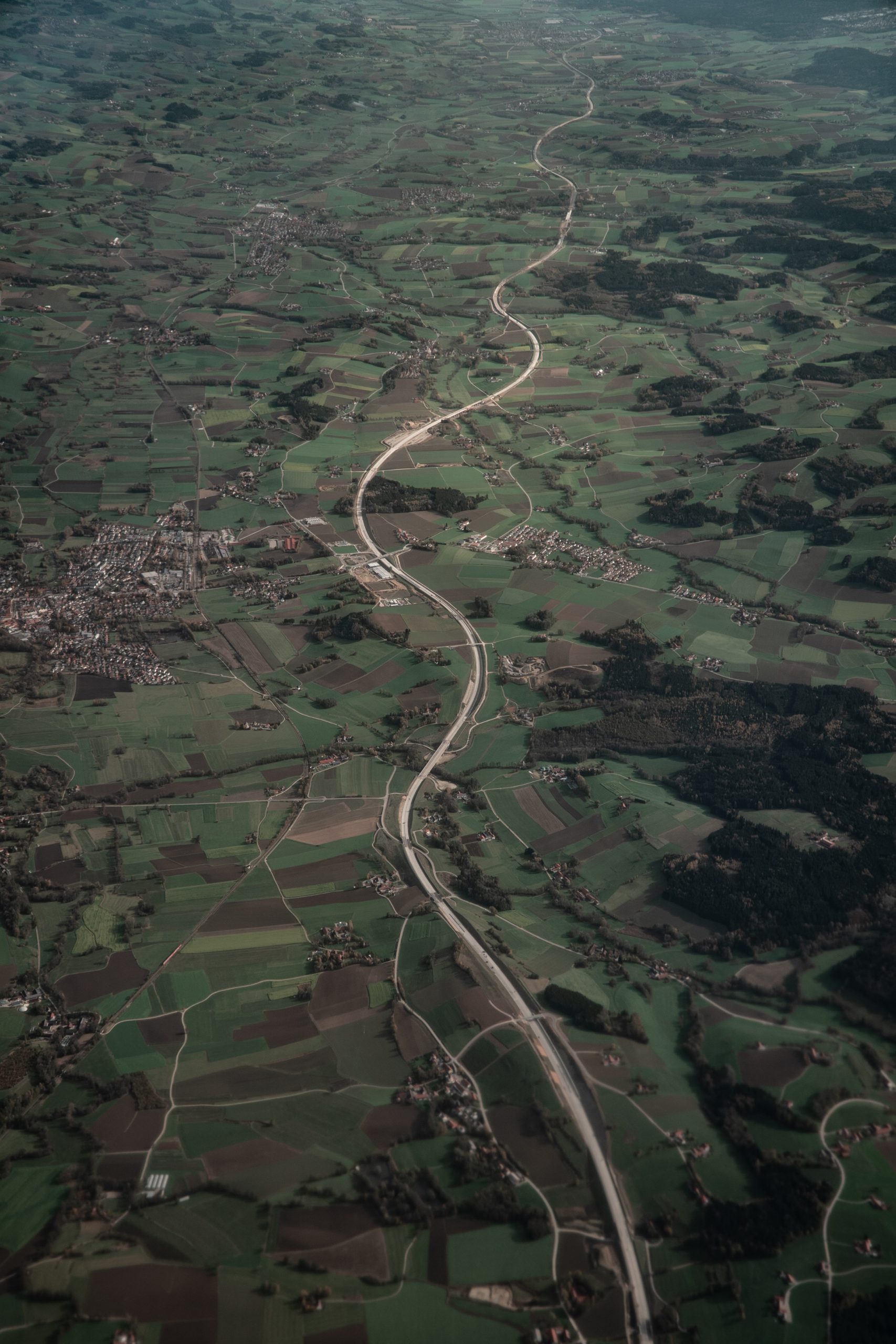
Our analysts extract actionable insights from satellite imagery and drone surveys for agriculture, land use, and terrain modelling.
Water & Sanitation Initiative
We structure and clean geospatial datasets, ensuring your spatial data is accurate, standardized, and analysis-ready.
NGOs & Development Programs
NGOs & Development Programs: for monitoring, reporting and field data
suppor
Conservation & Biodiversity Projects
for ecosystem mapping and habitat
analysis.