About

Built in Nairobi. Focused on one thing: seeing climate change on the ground.

GeoIQ Partners was founded to help organisations make better spatial decisions and to give Kenya's geospatial graduates a place where their skills go into real projects with real consequences.

47
counties mapped
11
tree species modelled
25+
variables per model
17
people in Nairobi

Our story

Rising demand, untapped talent.
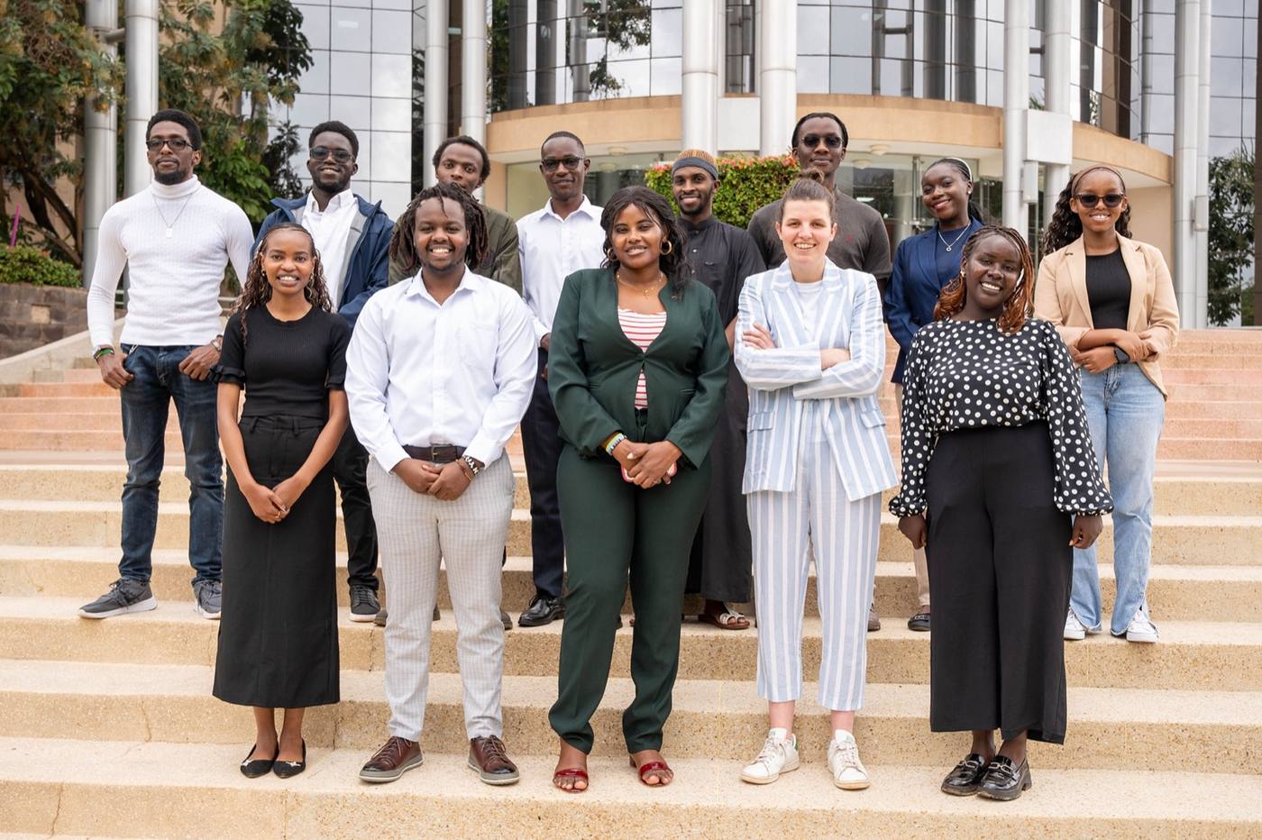
The GeoIQ Partners team in Nairobi

The challenge

Across Africa, climate change, urban growth, agriculture and infrastructure all need good spatial data. Most organisations have the data. Few get clear answers out of it.

The opportunity

Kenya has some of the strongest geospatial education on the continent. Every year, skilled graduates enter the workforce. What is missing is a place where that skill is put to work on projects that matter.

What we do about it

We build strong local teams, pair technical expertise with senior oversight and take projects on end to end. We focus on one thing and do it end to end: watch land from satellite and drones, verify it on the ground, model it with AI and hand over output a manager acts on and an auditor accepts. We do not hand over data. We deliver decisions with the evidence behind them.

What we stand for

We believe in the power of geospatial thinking to solve real-world challenges and in the creativity and drive of young professionals to lead that change. GeoIQ is about turning data into action, building capacity and creating impact that lasts.

How we work

Four principles on every project.

01

Decision first

We start from the decision you need to make, then work back: what to observe from above, what to check on the ground, what to model. Nothing is built that does not feed a decision.

02

One source of truth

Every map, model and report draws from the same cleaned, versioned database. Real data, demo data and pilot data are labelled as such, always.

03

Audit-ready by default

Methods are documented, weights are explicit, workflows are replicable. If a certifier, lender or donor asks how a number was produced, the answer is already written down.

04

You keep the capability

Open tools, documented code and training for your team, so the system keeps running after we step back.

The team

Seventeen people, one standard.

Meet everyone

Geospatial engineers and analysts

Mapping, satellite and drone analysis and spatial modelling, in open tools your team can keep using.

Software engineers and data scientists

Field apps, dashboards and the AI models that turn imagery into counts, change and risk.

Founder and advisory board

Senior oversight on every delivery, with advisors who have led technology and transformation at the UN and the Inter-American Development Bank.

Careers

Grow with a team that ships.

Our team comes from Kenya's strongest geospatial, software and data programmes and grows on real projects, with mentorship and a personal development budget. Tell us what you want to build.