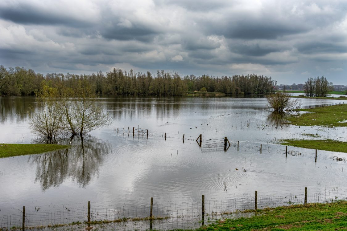
Large parts of the Netherlands lie below sea level and are vulnerable to flooding from rivers, heavy rainfall and the sea. While evacuation plans for people are well established, livestock evacuation is often overlooked. This raises an urgent question: how much time would farmers have to move their cattle in the event of a dike breach?
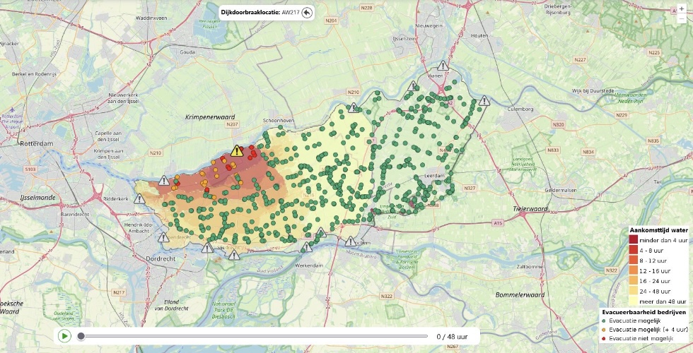
GeoIQ Partners developed a pilot Livestock Evacuation Assessment Viewer.nFarm locations within a flood-prone polder were mapped and linked with dike breach scenarios. Using dike strength, peak river discharges and local elevation data, we modelled how fast water would reach each farm after a potential breach.
For each dairy farmer, the system shows the estimated time available before flooding, combined with data on the number of cattle kept on the farm. Analyses included high-resolution elevation maps, relief, land use, and the presence of terps or secondary dikes. The result is an interactive map where every farmer can see whether evacuation of their herd is feasible under different flood scenarios.
") view
view
") view
view