A food forest is a self-sustaining ecosystem designed to mimic natural forests while producing food for people and animals. In a Dutch municipality, a foundation is developing a food forest that aims to become self-sufficient within a few years. To support this process, detailed soil and vegetation maps were required.
GeoIQ Partners carried out fieldwork using soil augers at pre-defined sampling points. The collected soil samples were analyzed in the laboratory for key parameters, including clay fraction, organic matter content, pH and calcium content. These point measurements were interpolated to create spatially continuous soil maps across the site.
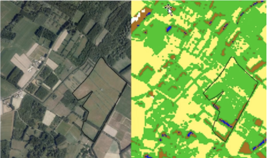
In parallel, remote sensing techniques were applied to map vegetation. Using Sentinel satellite imagery, the Normalized Difference Vegetation Index (NDVI) was calculated.
") view
view
") view
view
") view
view