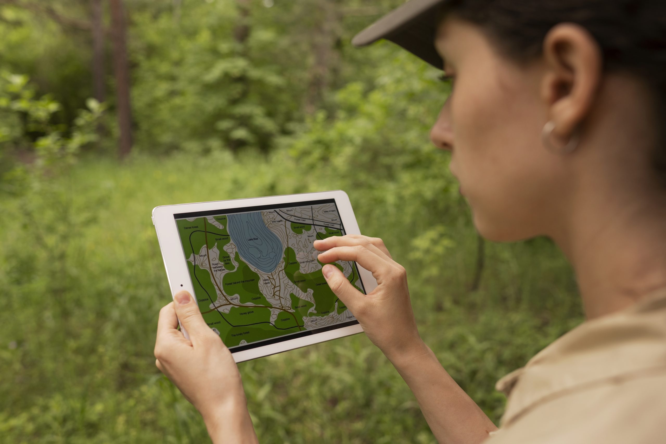
We support end-to-end field data collection using mobile tools, custom digital forms, and location-based workflows. From survey design to team onboarding, we make sure your data collection is efficient, accurate, and ready for analysis.
Why It Matters
Field data is the backbone of many projects and it needs to be right the first time. Whether you’re collecting GPS points, photos, community feedback or asset conditions, we help you capture the right information and avoid data gaps.