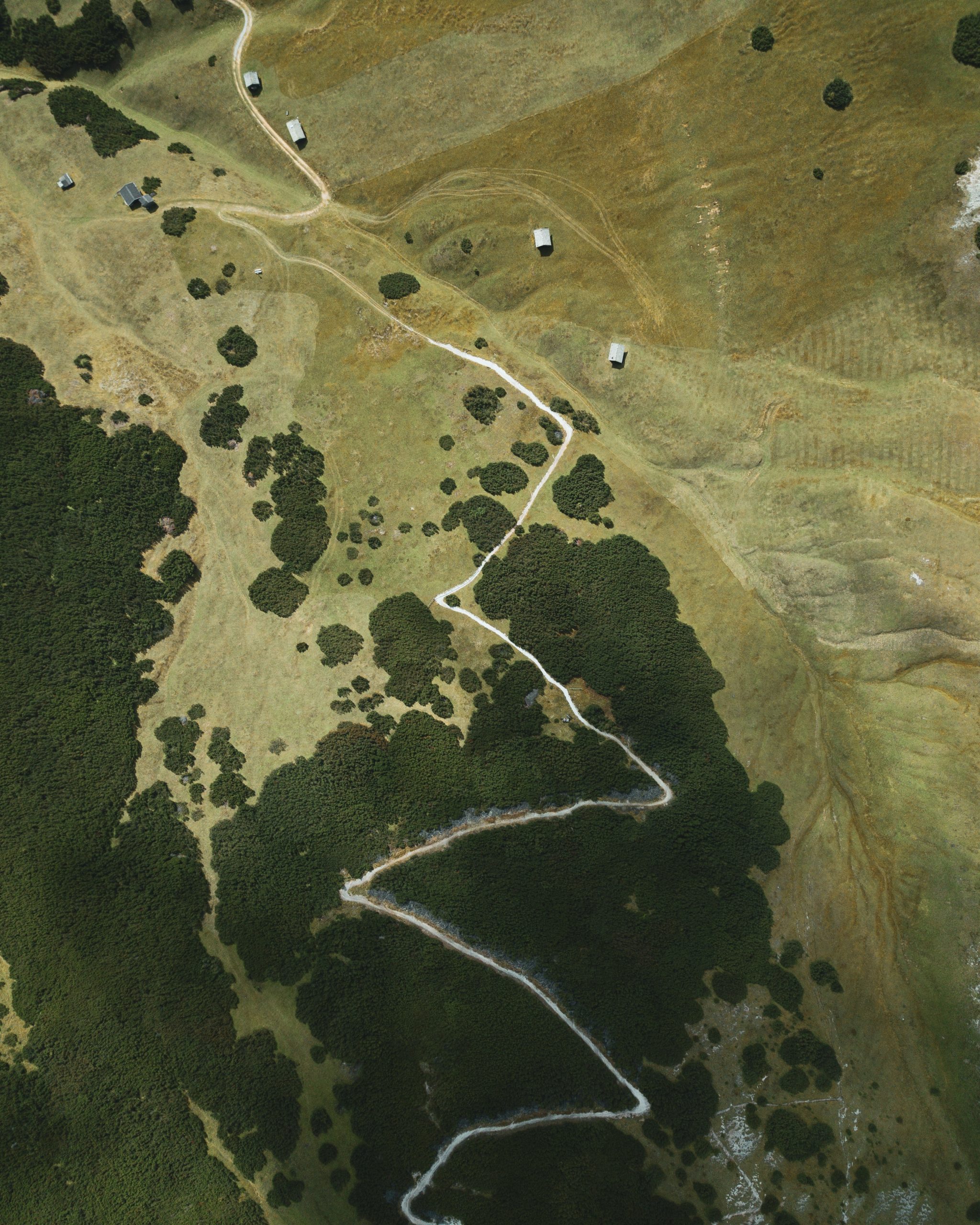
We use drone surveys and satellite imagery to monitor land use, detect changes, and provide insights that would otherwise be out of reach. Our analysts interpret this imagery to help you understand terrain, vegetation, water availability, and land conditions in detail.
Why It Matters
Remote sensing gives you eyes on the ground without physically being there. It’s faster, more consistent, and often more accurate than traditional surveying. Especially in remote, large, or sensitive areas, it’s a powerful tool for early warnings, monitoring progress, or identifying risks.