• GeoIQ
  • Whale Migration Shift

Whale Migration Shift

Intelligent Geospatial Decision Making

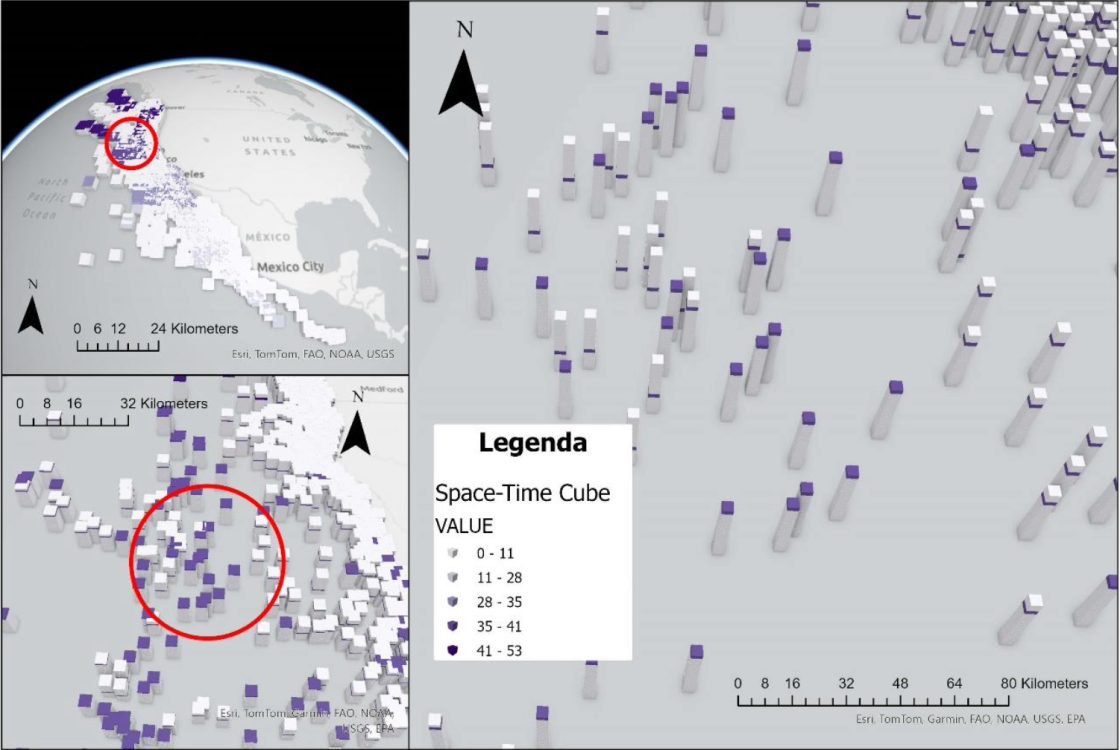
Blue whales are highly dependent on cold, nutrient-rich waters for feeding. With melting ice sheets and rising sea temperatures along the Alaskan coast, these conditions are shifting further north. This raises a critical question: how does climate change affect the migration of the largest animal on earth?

GeoIQ Partners analyzed 20 years of blue whale tracking data, covering seasonal movements from Latin America to Alaska. By linking satellite-based whale observations with ocean temperature datasets, we identified clear patterns in how feeding grounds are moving northwards and how this alters migration distances.

Challenge

The main challenge was integrating heterogeneous datasets collected over different years and standardizing whale observations with climate rasters to ensure consistency over time. This required careful data cleaning, harmonization, and geostatistical analysis to identify robust trends. In addition, ensuring spatial comparability across large oceanic areas posed technical challenges for data interpolation and scaling.

GeoIQ deliverables

  • Cleaned and structured database combining whale tracking and climate data
  • Spatial analysis of migration shifts across two decades
  • Final report summarizing key findings

Impact

The results provided new insights into how climate change influences migration distances and feeding behavior. By quantifying these shifts, the project supports marine scientists and conservation organizations in developing strategies to protect blue whales under accelerating climate change. Beyond species protection, the project demonstrates how GIS and long-term datasets can inform broader marine policy and climate adaptation planning.

Cart (0 items)

No products in the cart.